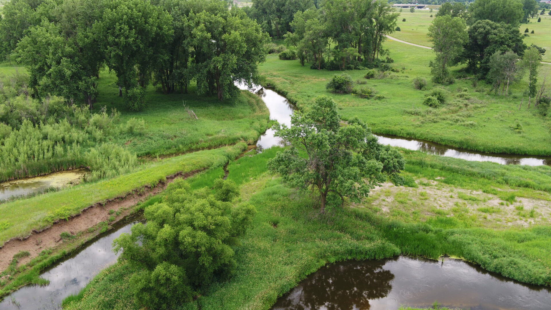
Rice Creek Water Trail
The information on the Rice Creek Water Trail is for informational purposes only.

RCWD is not responsible for the management or maintenance of the Rice Creek Water Trail. RCWD does not remove trees or maintain the water trail unless it is necessary for flood control, water quality, or in partnership with other Rice Creek Water Trail management agencies.
For more information and maps on the water trail visit Anoka County Parks.
Safety Notice: Electric Fish Barrier
RCWD has installed an electric fish barrier on the Rice Creek. These electric fish barriers control common carp and improve water clarity in Long Lake. The barrier is located upstream of Long Lake near the railroad crossing. The barrier and portages will be clearly marked when in use. It is important to follow all instructions provided on signs and portage where marked. If signage and buoys are NOT present, the barrier is not operational, and paddlers can pass without portaging.
Paddling Rice Creek
The trail begins in Lino Lakes at the Peltier Lake boat launch (just below the Peltier Lake dam) and travels over 15 miles to Long Lake in New Brighton.
The level of difficulty when paddling the Rice Creek Water Trail depends on the section of the creek you are exploring and water levels. The upper part of the water trail (the first 7 miles) makes its way through five lakes before narrowing into a creek.
Rice Creek Water Trail Map Here: Anoka County Parks
Check Water Levels on Rice Creek
If the water level gets too high, it becomes difficult or impossible to pass through culverts and under bridges. When water levels are low, paddlers may need to portage or carry boats over rocks and other obstacles. When water levels are high, paddlers may need to portage around some road crossings and other areas where boat travel is blocked. This is especially true between Baldwin Lake and 35W.
Real-time water levels are provided by the U.S. Geological Survey in collaboration with the Rice Creek Watershed District.
Passable water levels recommended for Rice Creek are 6.30- 7.90 feet.. Paddlers are strongly encouraged to check the USGS website for water levels before going onto the creek.
Reporting Fallen Trees or Maintenance Needs
Some fallen trees are to be expected when paddling the Rice Creek Water Trail. It’s important to recognize that they provide habitat for fish, invertebrates, reptiles, and birds. If a tree is completely blocking passage, it should be reported to Ramsey or Anoka County, depending on the location.
Contact
If you have any questions about the Rice Creek Water Trail or exploring the watershed, please contact:

